Cities on the Map logo: a yellow C with a red city dotCities on the MapCity geography, explained

Episode 1 · Why 22 Million People Live on a Drained Lake (Mexico City)

Why cities are where they are

Cities on
the Map

Every city is an answer to its map.

Why does almost nobody live in one part of a city, and why is the other side rich? Each video takes one city and one question, and answers it on the map: the land, the people who built it, and why it is still like this.

Every video

One city. One question. Three layers.

It starts on one real place, with what everyone assumes about the city and the number that breaks it. Then the answer, in the same order every time.

01

The land

A tour of the site by the compass: the river, the hills, the coast, the old lake. For each zone, one verdict: could a city grow here?

02

The people

Who came first, what they needed, and the one decision, law, wall or flood that froze the map, with its date and who made it.

03

Why it's still like this

Today's technology could change it, so why hasn't it? The money, the distances, the strongest counter-argument, and one what-if.

Real places by their real namesEvery number with its yearFair to every side of the storyMaps from open data
What you'll see

The map does the explaining

Every frame below is from the channel's own videos: real buildings, real coastlines, real boundaries, drawn the moment the narration names them.
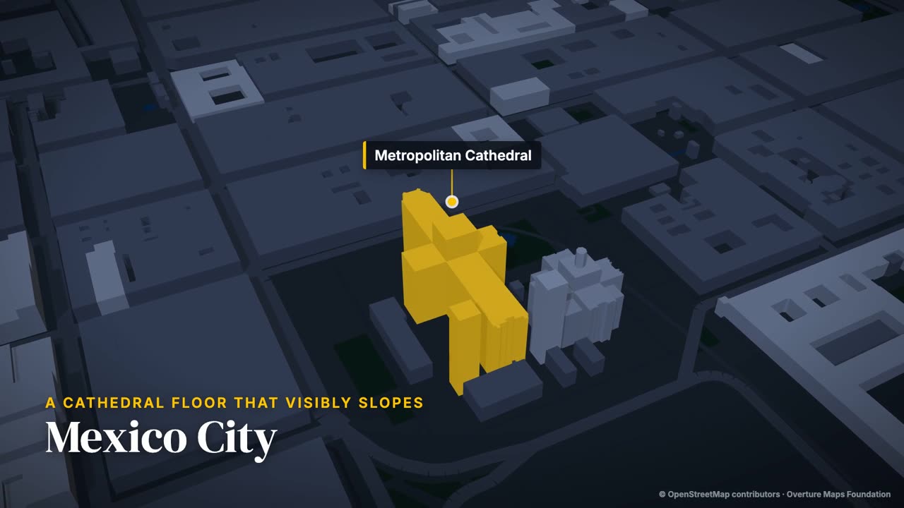
3D map of Mexico City's centre, the Metropolitan Cathedral lit in yellow
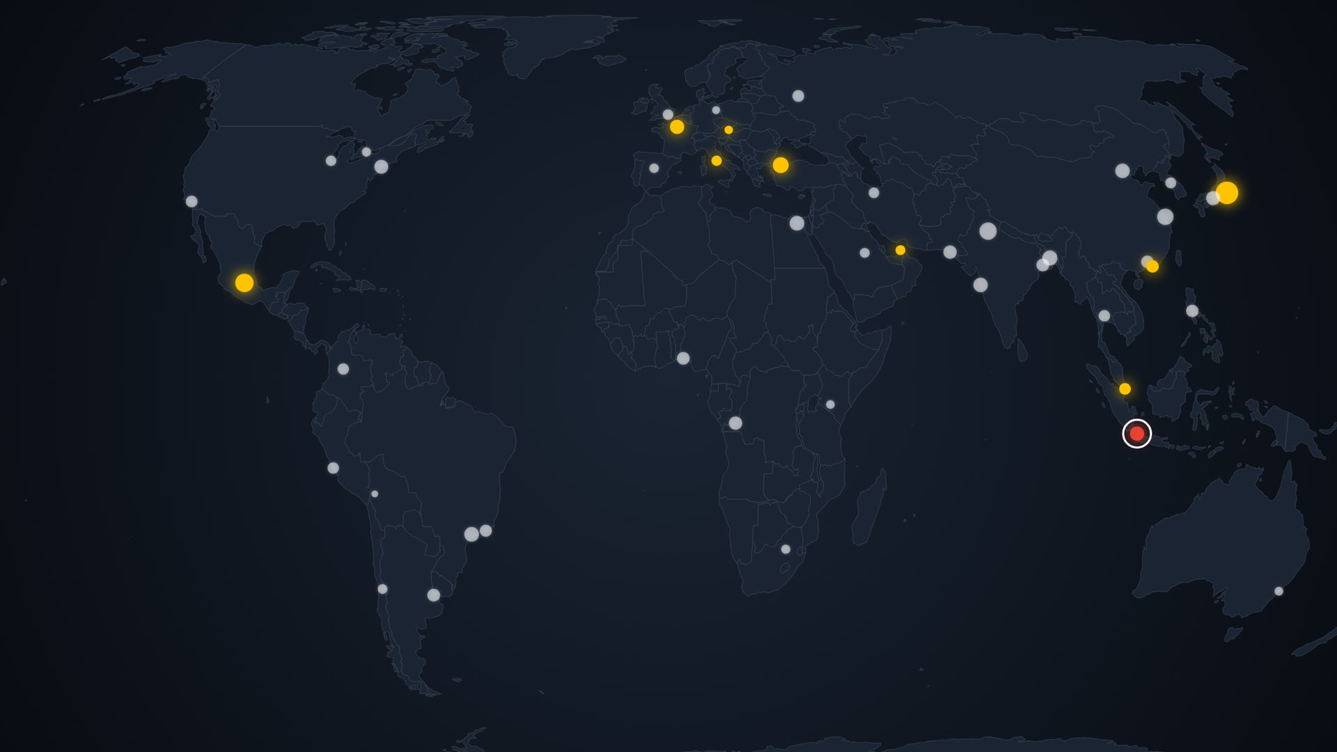
The dive into the cityEvery video opens on the whole country and comes down into the streets, onto the place the first sentence names
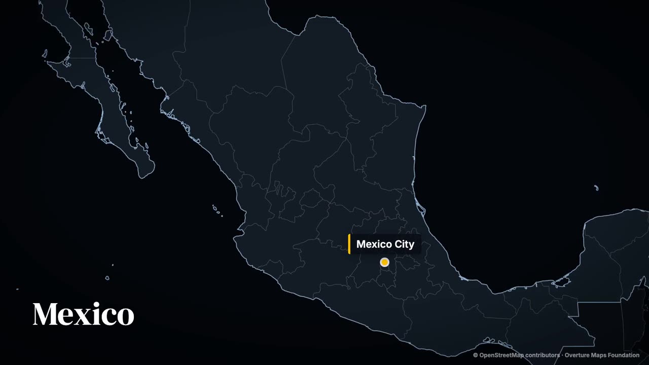
Outline map of Mexico with Mexico City marked
From the country downNatural Earth outlines, then the city's real buildings
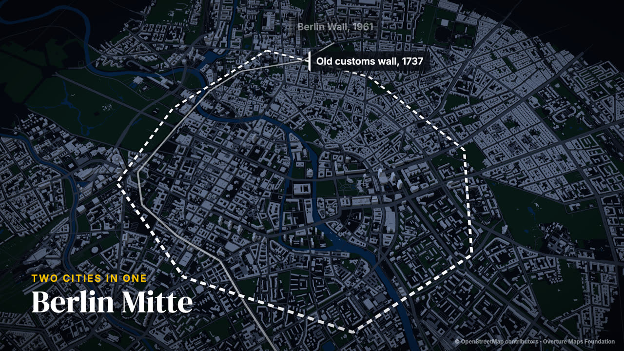
3D map of Berlin with an old wall line and an old customs boundary drawn on the streets
History drawn on the streetsOld walls and shorelines laid over today's city, era by era
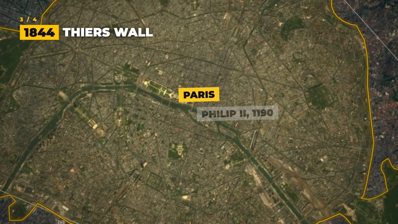
Satellite map of Paris with the city limits drawn in yellow and an era caption
The map, one era at a timeEach wall greys to a ghost as the next one is drawn
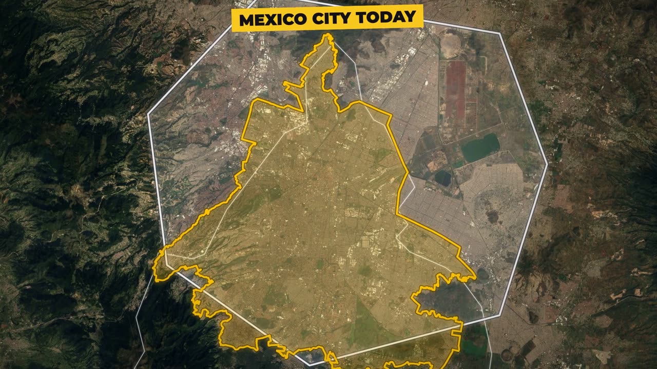
Satellite map of the Valley of Mexico with the former Lake Texcoco and today's city limits
The true boundaryWhat the city really covers, against what everyone thinks it is
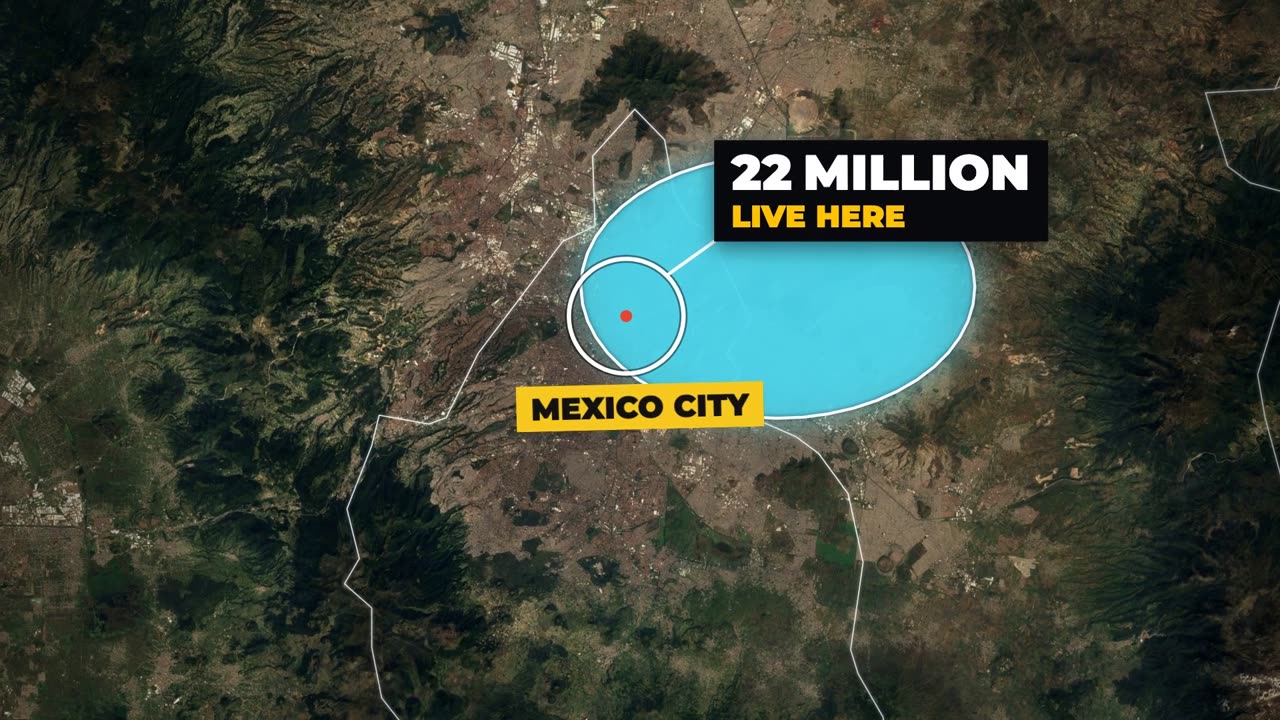
Satellite map of the Valley of Mexico, the old lake in blue, a white circle on Mexico City: 22 million live here
The count circleOne dot, one number: the figure the whole video turns on
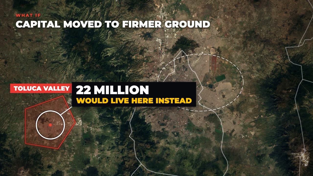
Satellite map of central Mexico showing a what-if: the capital on firmer ground
The what-ifThe same map redrawn: the wall gone, the lake drained, the capital moved
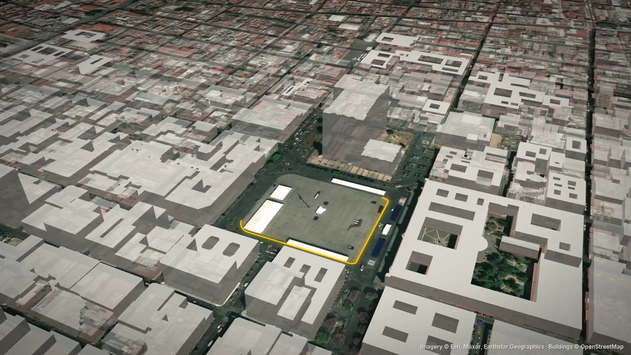
3D view of the Zócalo in Mexico City with the square outlined in yellow
Close on the placeThe square, the bridge, the district the sentence is about
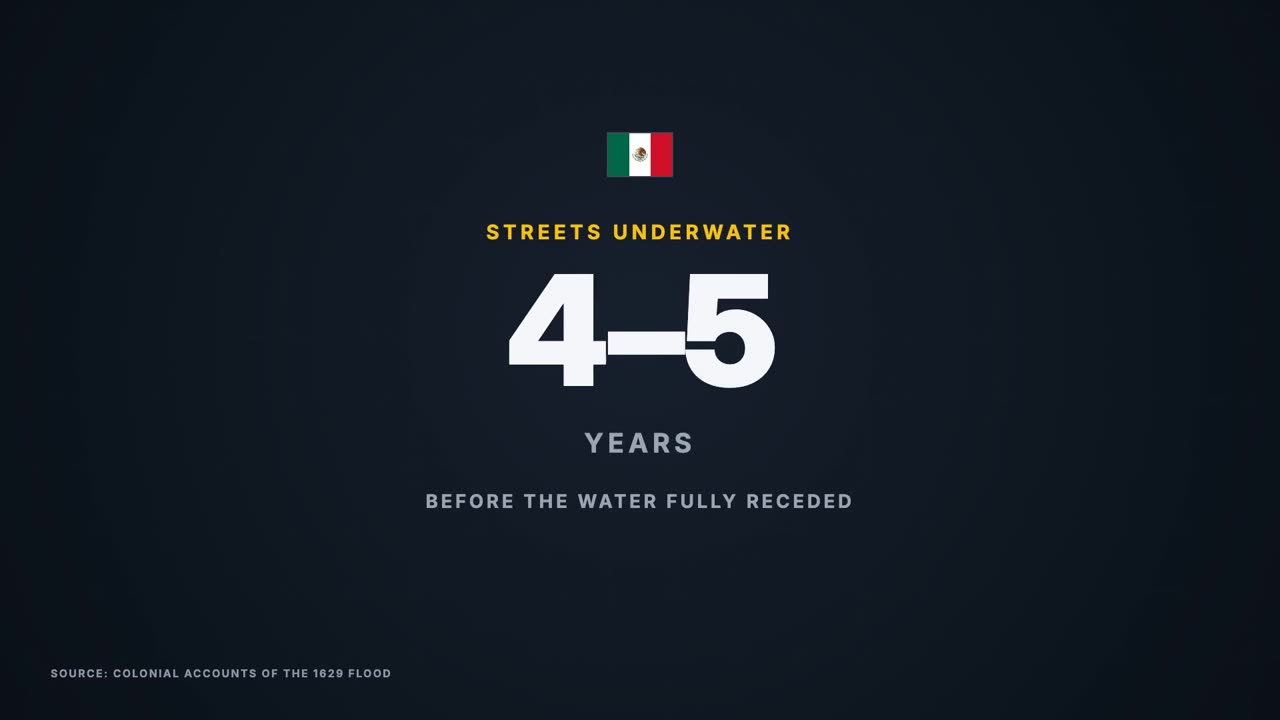
Data card: 4 to 5 years, streets under water after the 1629 flood
Numbers with a yardstickEvery big figure next to one you already know
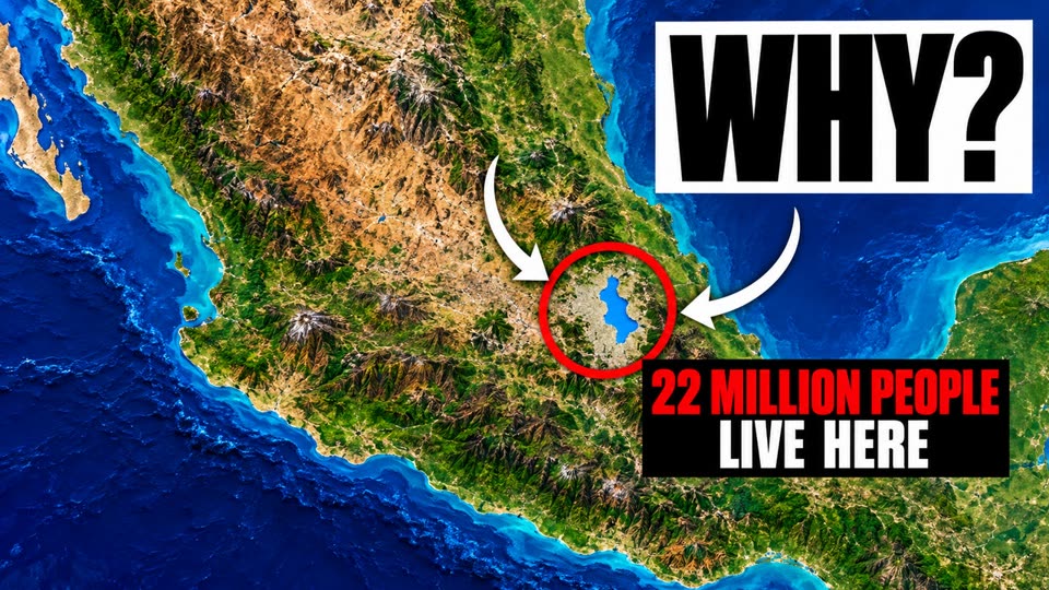
Thumbnail: a map of central Mexico, a red circle on the Valley of Mexico, 'WHY?' and '22 million people live here'
Episode 1

Why 22 Million People Live on a Drained Lake

Mexico City stands on the bed of Lake Texcoco, in a valley with no river out to the sea. In 1630, after a flood that lasted years, the order came to move the capital to dry ground, and the city refused. Four centuries of drains later, parts of it sink up to half a metre a year.

  • The five lakes of the Valley of Mexico, and the island that became Tenochtitlan
  • The 1629 flood and the order to leave that nobody obeyed
  • The old shoreline drawn over today's city
  • Why a city built in a lake is running out of water
The first cities

Ten questions, ten maps

Empty maps that should be full, rich cities with no reason to be rich, and the maps people search for before they move.

01Why 22 Million People Live on a Drained Lake (Mexico City)Out first
02How Did Dubai Become Rich? (It's Not Oil)A hidden paradox
03Why Almost Nobody Lives in Central Paris AnymoreAn empty map
04Cost of Living in Dubai, Mapped District by DistrictThe map, explained
05Germany Has a Megacity Hiding in Plain SightA hidden paradox
06Why Rome Is the Opposite of Every European CapitalA hidden paradox
07Moving to London? Every Borough Explained on One MapThe map, explained
08Why Japan's West Coast Has No Big CitiesAn empty map
09The Berlin Wall Is Still Visible From SpaceA hidden paradox
10Evolution of Singapore: From Swamp to Richest CityThe map, explained
Made to travel

Four languages, one map

Every video is made in English, then told again in German, French and Polish by a native narrator, with the same maps.

ENEnglishEvery city is an answer to its map.
DEDeutschJede Stadt ist eine Antwort auf ihre Karte.
FRFrançaisChaque ville est une réponse à sa carte.
PLPolskiKażde miasto to odpowiedź na swoją mapę.
Where it comes from

The sources behind every map

Open map data and official numbers, credited in every video and in its description.

OpenStreetMap© contributors · ODbLThe streets, rivers, parks and boundaries of every city
Overture MapsOverture Maps FoundationThe real buildings of the 3D cities, with their heights
Natural EarthPublic domainCountries, regions and coastlines from space down to the city
Sentinel-2Cloudless mosaic by EOXThe satellite picture of the land under each city
National statisticsCensusesPopulation by city and district, always with its year
Research and archivesNamed on screenStudies, historic maps and records behind every claim
Subscribe

New city, new question

Every city is an answer to its map.

Tell us in the comments which city we should put on the map next.